Last Updated on 15/04/2023
Bad Urach – is a small spa town near the outlet town Metzingen. Suitable for day trips from Stuttgart (train) or in conjunction with something else. In the city itself there is an old center, a small palace, a thermal pool. There is a ruine of fortress on the hill. But most of people walk to the waterfall.
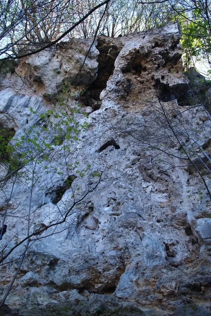
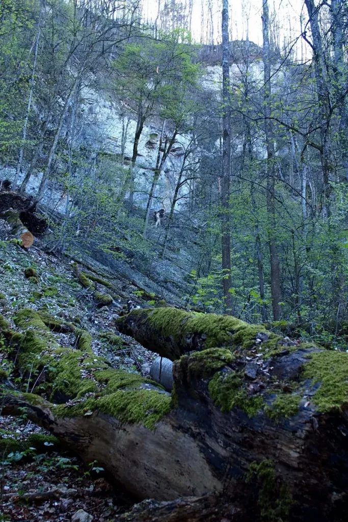
There are quite high hills around, limestone, eaten away by holes. With the stream, 5 kg of lime and God knows what else is carried out per day. So you shouldn’t drink the water, despite all its transparent stream appeal.
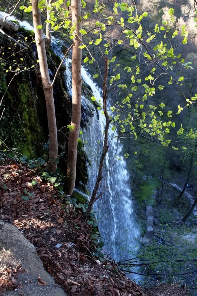
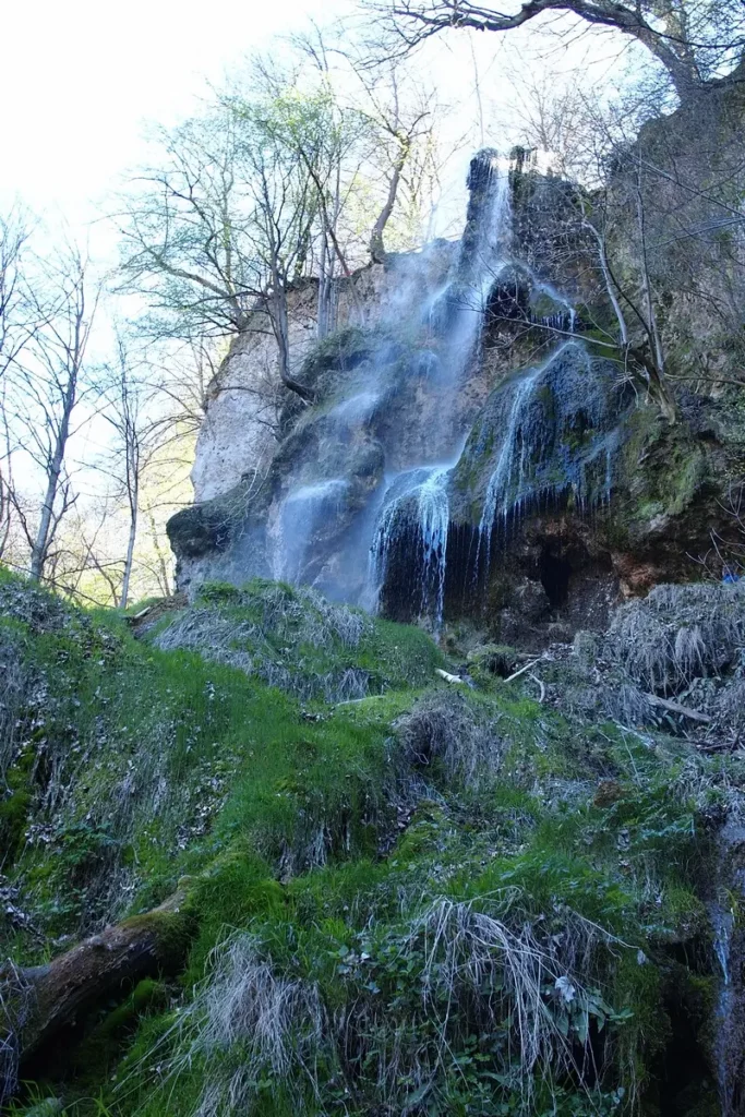
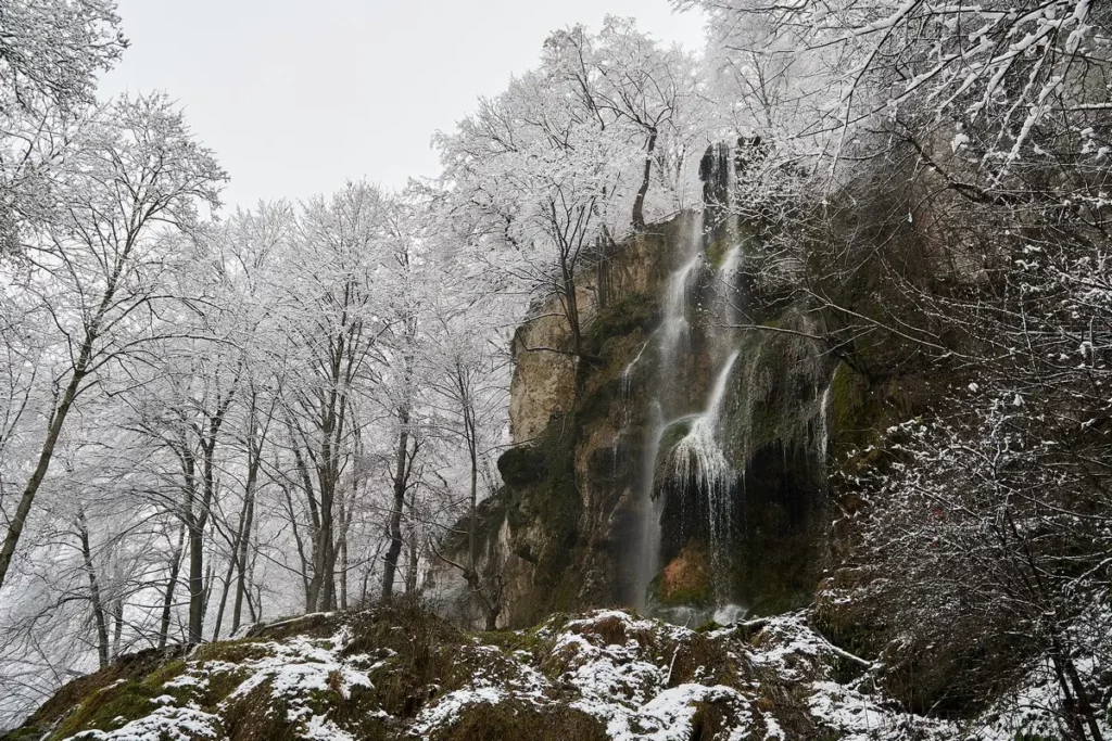
The Bad Urach waterfall is the third highest of those German ones that are outside the Alps (the first two are in the Black Forest), only 87 m.
Swabian Alb map
North Black Forest. What to see
Stuttgart
Bad Teinach Zavelstein Crocus fields
Ludwigsburg palace and gardens
Lake Constance map of attractions
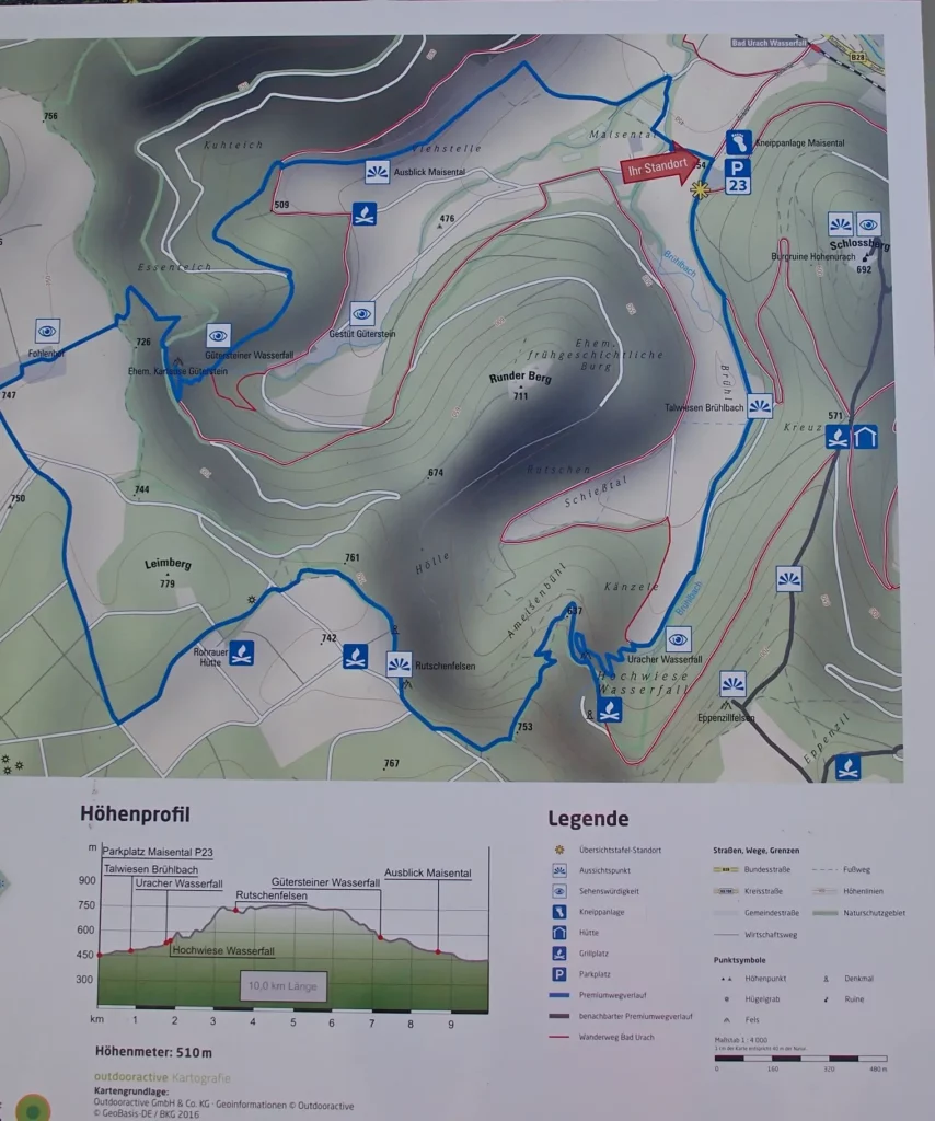
The tourists were taken care of: the site of the town describes tourist routes well, there is a sufficient number of parking lots. Map of routes nearby to the waterfall.
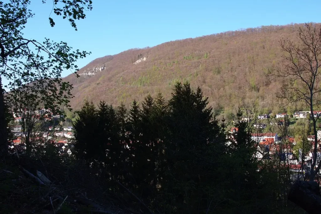
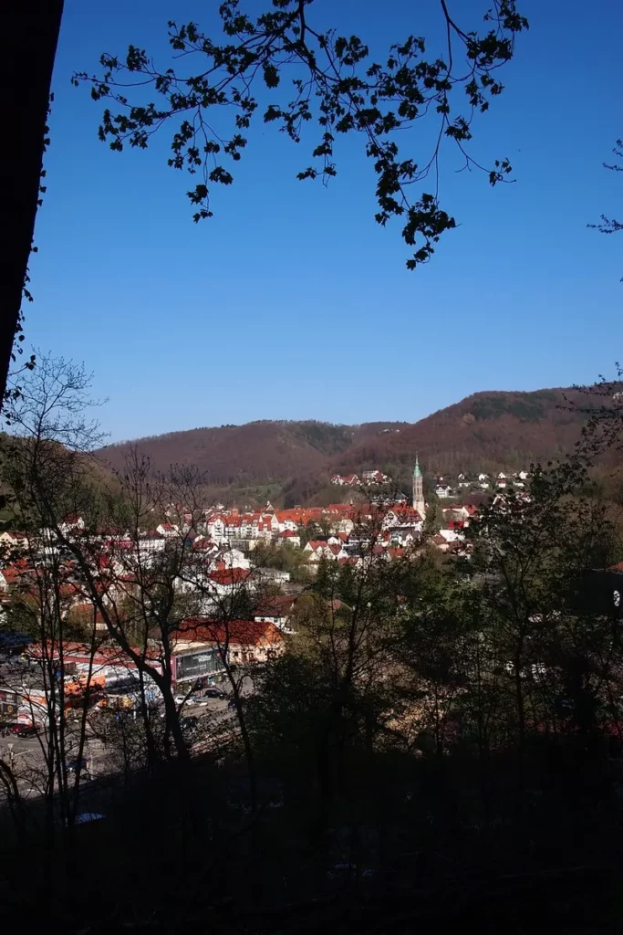
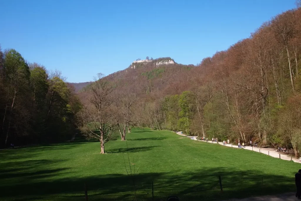
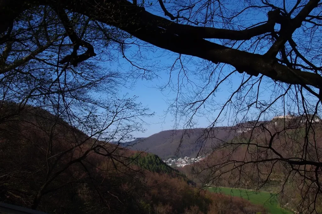
The town is located between the hills.
The river from which the Bad Urach waterfall is came out.
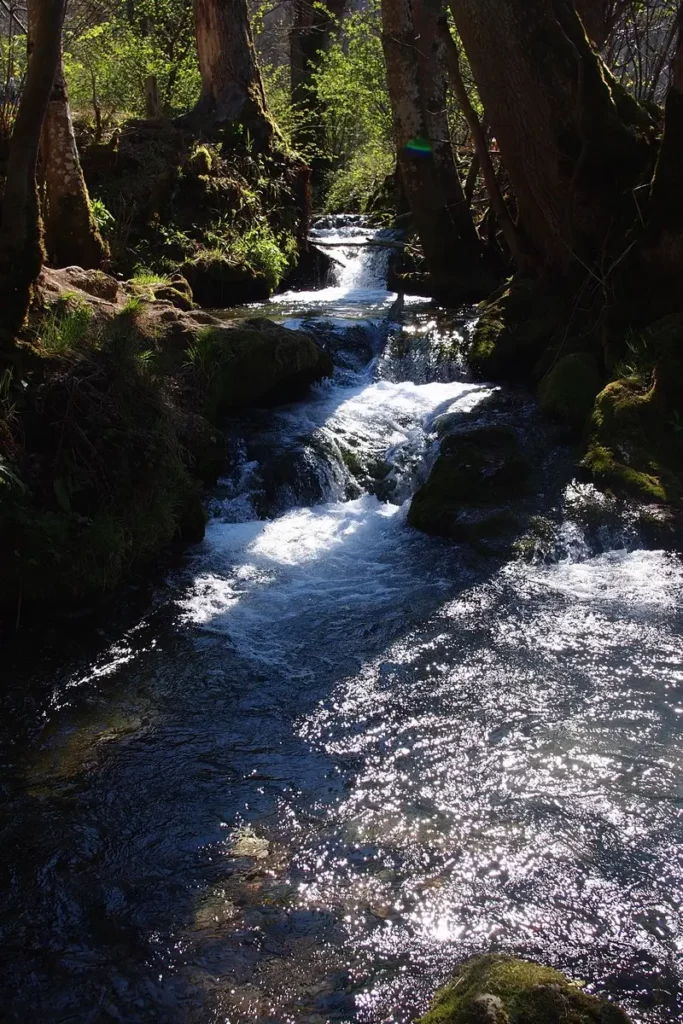
It flows down such a valley.
and continues to deepen it. The slopes are dotted with caves. People climb there, despite the obvious lack of security.
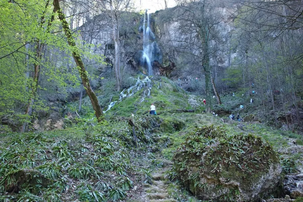
The waterfall can be approached from below or from above. The top is not the end of the mountain, but just another step. There is a cafe, a small observation deck overlooking the valley and the fortress on the mountain.

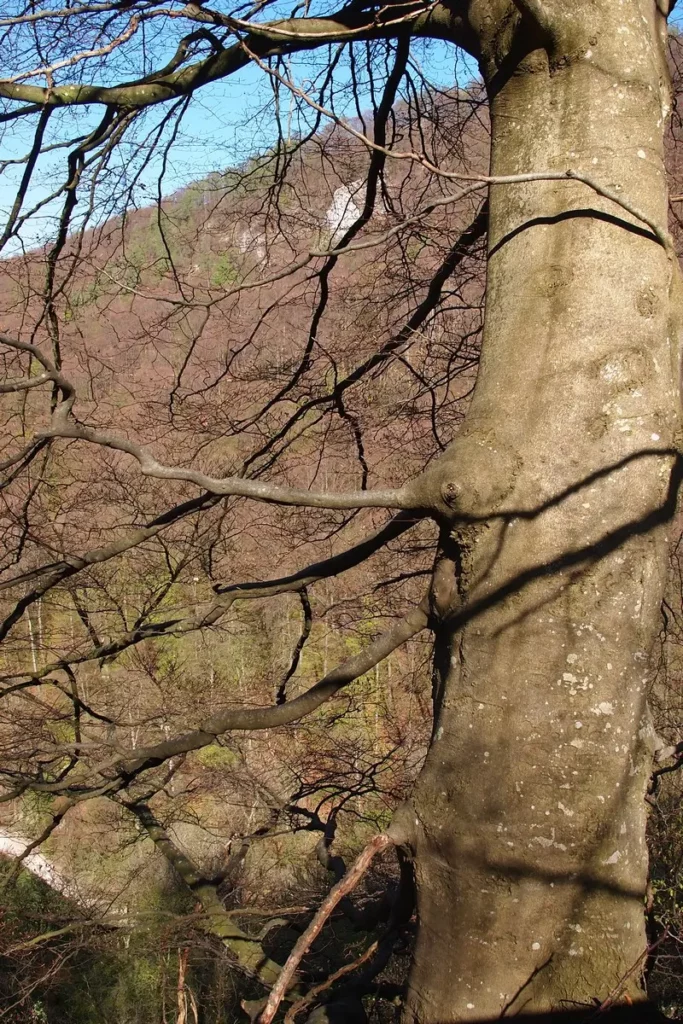
The tree grows on the very cliff. I wonder how long he has left to hang. White cliffs are visible here and there on the slopes.
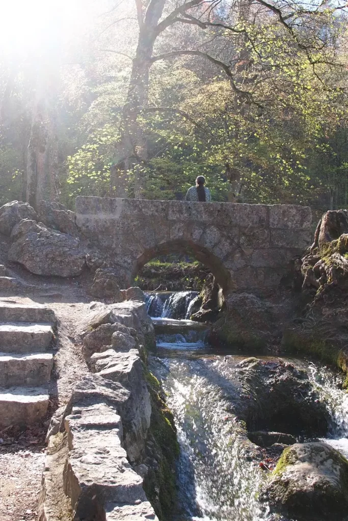
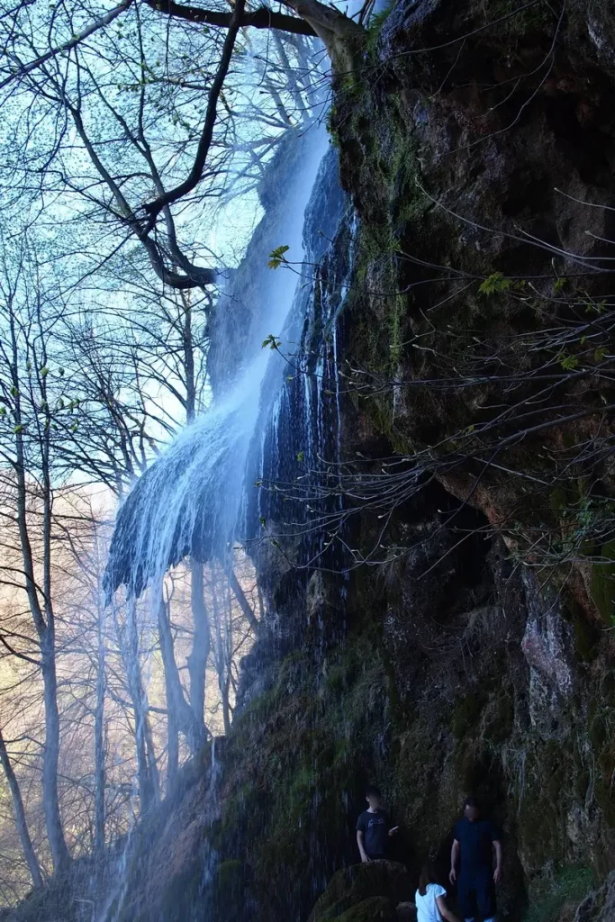
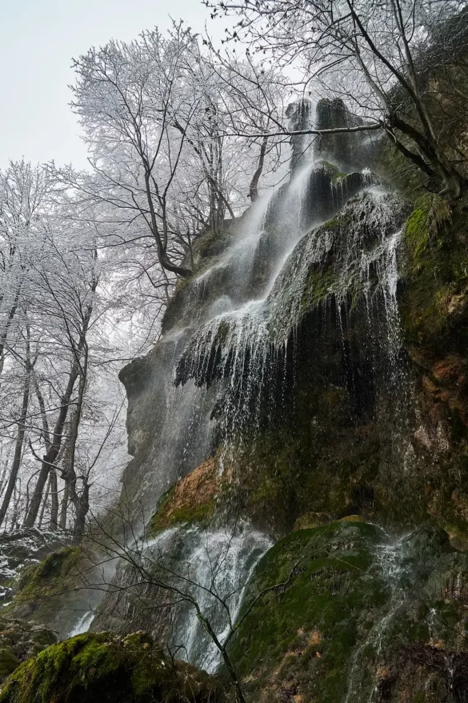
The waterfall has long been a local landmark: old worn stone steps lead upstairs, the bridge also doesn’t look new.
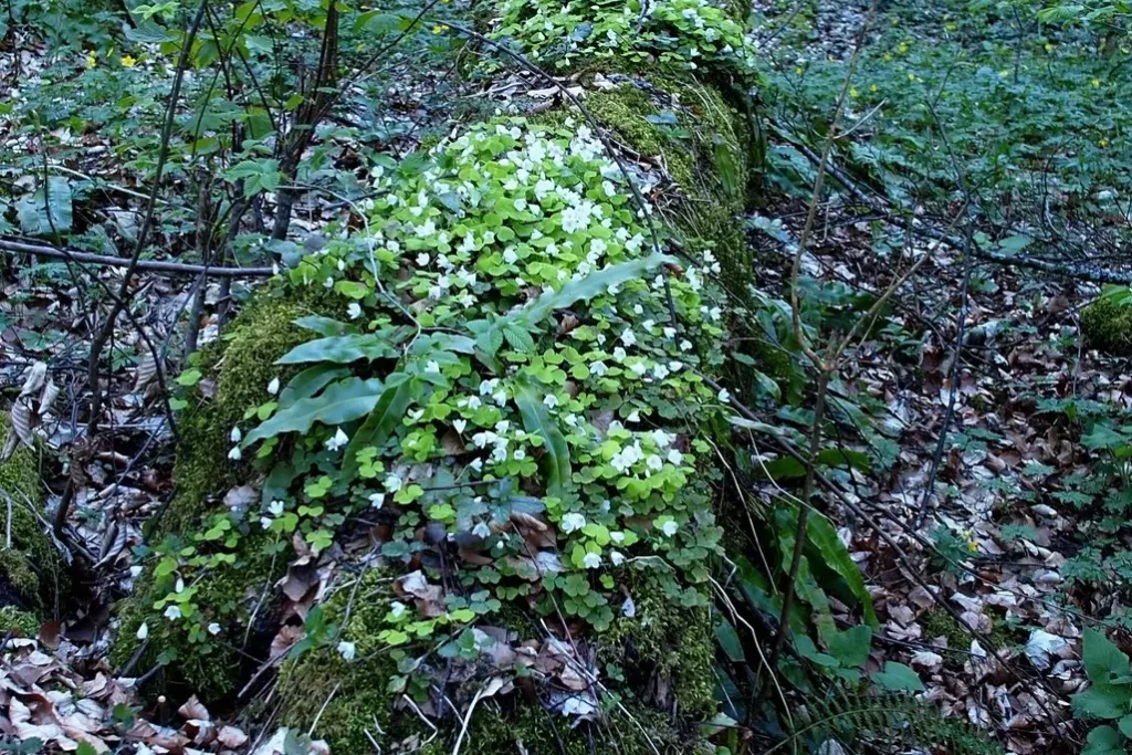
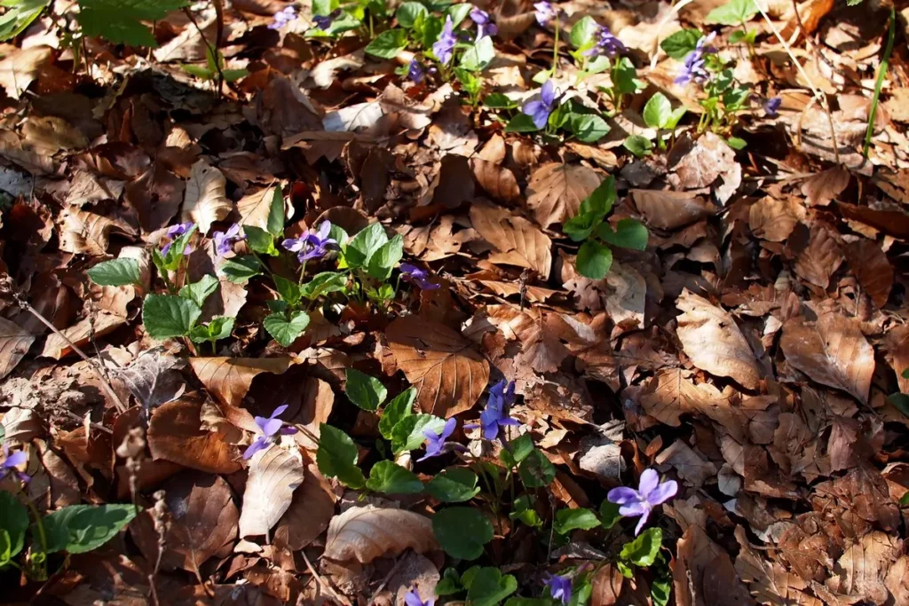
Local plants clearly do not like the soil. But here and there primroses still came across, and even a clearing was found with lilies of the valley not yet blooming.
That’s how much more from the beginning of the waterfall to the top of the mountain.
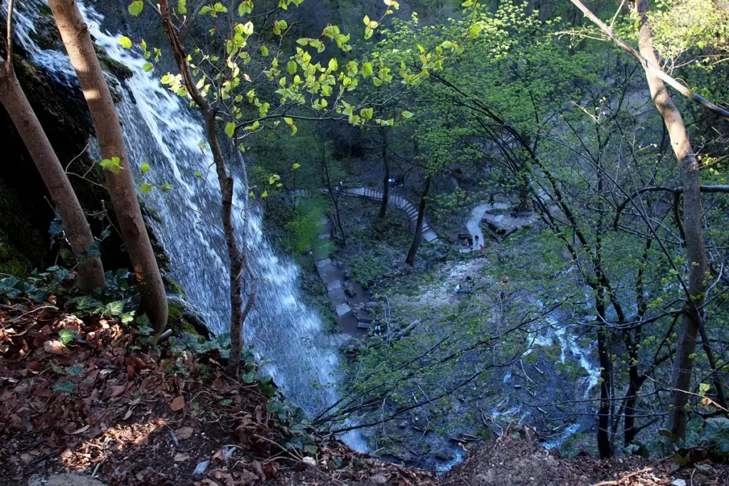
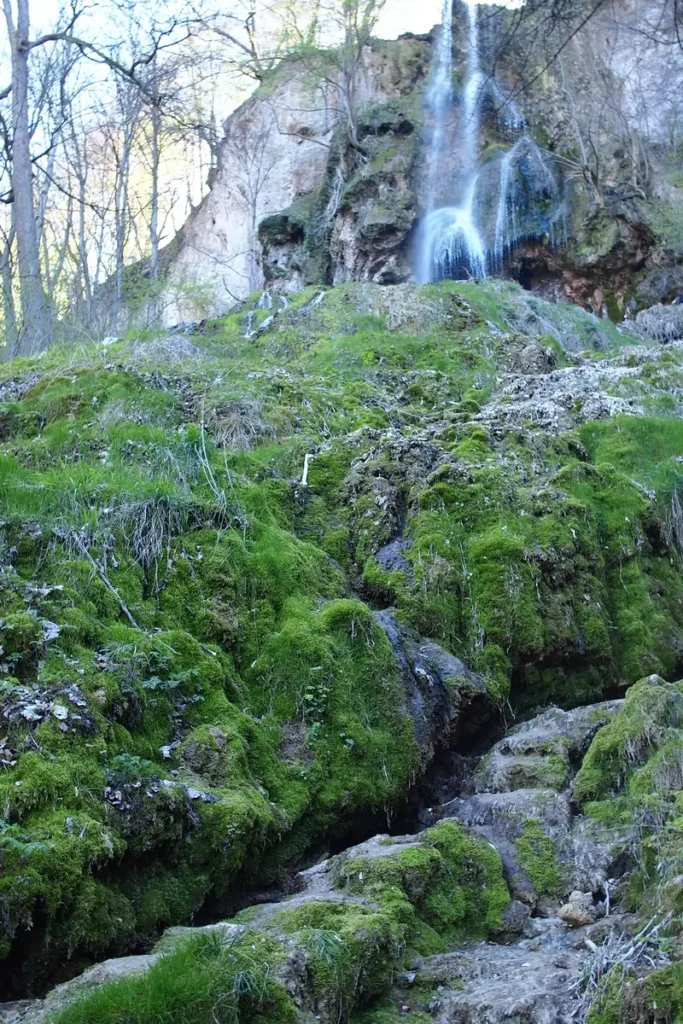
Waterfall at the beginning of the spring. There is very little water, but we were in a long dry period. Judging by the silt below and the video with a full waterfall in the Youtube, the river can be four times larger. Down in the valley there is a barrier that is closed if the roads are impassable.
And here is the bottom view. Judging by the soil, this part should be flooded during the high water period.
This piece of rock has clearly fallen off from the common part on top. Water flows down it in small dropping streams, which is quite beautiful, but not caught by the camera.
People climb up, there is a cave under the streams.
Walking back and forth along the circular route took a little over two hours.
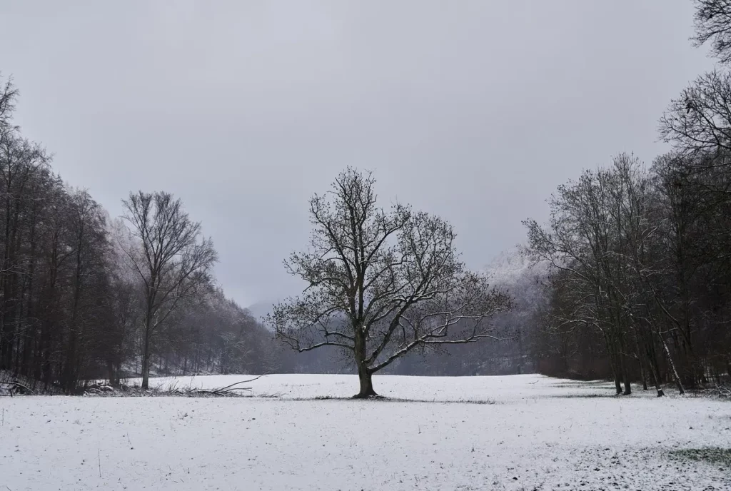
Bad Urach waterfall in winter
In winter, it is more snowy here than in Stuttgart. The snow strip runs from the mountains, from the south and ends up to Metzingen. The difference in the amount of snow was significant.
About Stuttgart – here.
A map of attractions around Stuttgart is Around Stuttgart places to visit map.
Do you enjoy the site without cookies? This means that I work for you at my own expense.
Perhaps you would like to support my work here.
Or change your cookie settings here. I don’t use personalized ads


